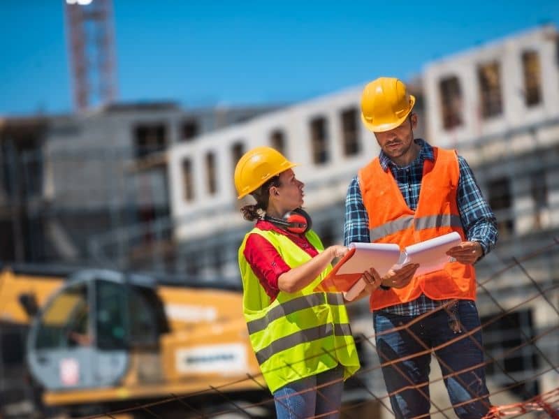
Roads, water lines, power grids, and communication cables are what keep communities running smoothly. As towns grow, these systems often stretch for miles across different kinds of land from open fields and hills to busy neighborhoods. Even a small mistake in where something is placed or how high it sits can cause big problems later. Roads may not line up properly, pipes might not connect, or changes between old and new sections could become unsafe. Construction survey accuracy fixes this by giving clear, exact measurements. It makes sure every part of the project follows the plan, fits together well, and works the way it should.
How Construction Survey Services Support Alignment Across Long Infrastructure Corridors
Many transportation and utility routes run for long distances over changing ground. Over that length, even a tiny shift in direction or slope can add up to a large error by the time work reaches the end. A road that curves just slightly off course, or a pipe that tilts too much, can stop working as designed and cost extra time and money to repair.
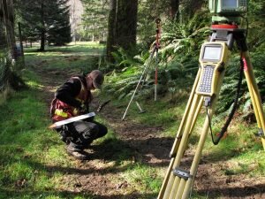
Surveyors handle this by setting up a series of fixed markers along the entire path. These points are placed firmly in the ground and stay in place through rain, heat, and construction work. They act as a steady guide so crews can check their progress at every step. Some of the key details they control include:
- Straight lines or smooth curves that match the approved plan
- Gentle slopes so water flows freely and vehicles travel safely
- Correct height and position across flat land, hills, and valleys
- Proper distance from property lines, buildings, trees, and streams
With these markers in place, teams can build from one end to the other knowing everything will stay on track.
Establishing Reference Frameworks for Multi-Phase Utility Extensions
Water, sewer, electric, and internet lines are rarely built all at once. Instead, they are often added in sections over months or even years. Different crews may work on each part, and sometimes long gaps happen between one stage and the next. Without a shared set of measurements, there is a real risk that new work will not line up with what was done earlier.
Construction surveyors create a permanent system of reference points that remains accurate over time. The markers set during the first part of the project are carefully recorded and can be found and used again whenever work starts up again. This means whether construction continues after a few weeks or several years, the new lines will follow the exact same path and height as the sections already in place.
This consistency prevents gaps, mismatches, or changes in slope that could block water flow or damage equipment. It also makes future updates easier, because the original measurements are already saved and reliable.
Guiding Transportation Improvements Through Complex Route Transitions
Some of the most important parts of road projects are where the route changes shape or direction. This includes places where roads get wider, new intersections are built, ramps connect to highways, or roads meet bridge supports. In these spots, there is very little room for error. Changes in width, curve, or height must happen slowly and smoothly to keep traffic safe and structures strong.
Surveyors mark these transition areas with extra care. They set exact points showing where the road begins to widen or change slope, and they make sure each shift follows the plan at the right pace. This ensures cars move from one section to the next without sudden bumps or sharp turns. It also guarantees that bridge supports, guardrails, and drainage channels fit exactly where they are needed.
By being precise here, surveyors help avoid rough surfaces, uneven joints, and other issues that would require costly repairs later on.
Supporting Infrastructure Tie-Ins to Existing Public Systems
New roads and utility lines do not work on their own. They must connect to older parts of the network that are already being used every day. Joining a new pipe to an existing one, or lining up a new road with an older intersection, requires knowing exactly where the existing system sits and how high it is. If measurements are wrong, the connection may not fit, which can lead to leaks, blockages, or safety risks.
Surveyors first gather clear information about the location, depth, and direction of roads, pipes, and poles that are already in place. They confirm their exact position and height. Then they use this data to design the new section so it matches perfectly. During construction, they check again to make sure the new part meets the old one at the right angle and level.
This careful work ensures the whole system works as one. It lowers the chance of service interruptions, keeps work moving on schedule, and protects the investment already made in older facilities.
Maintaining Consistency Across Multiple Construction Teams and Contractors
Large projects often involve many different companies working at the same time. One crew may build a stretch of road, another installs drainage, and a third lays underground cables. Without shared standards, each group could use their own measurements, leading to parts that do not line up when put together.
Construction surveyors provide one single set of reference points and measurements for everyone on the job. All teams use the same markers and data, so their work follows the same plan and scale. This means a road built by one contractor will match the curbs and gutters placed by another, and all pipes and wires will fit within the space allowed.
This coordination reduces confusion, speeds up work, and cuts down on the number of changes needed before the project is accepted. It also creates a clear record of how everything was built, which is useful for repairs or upgrades far into the future.
Frequently Asked Questions
Why is alignment accuracy important for transportation and utility projects?
Over long distances, small mistakes grow into big problems. Accurate alignment ensures roads stay safe and smooth, pipes flow properly, and all parts of the system connect the way they should. It prevents extra costs and keeps the project working as planned.
How do construction survey services support long-distance infrastructure corridors?
They place fixed markers along the entire route. These points give consistent measurements from start to finish, even across hills, fields, and neighborhoods, so work stays on course.
What challenges occur when utility expansions are built in multiple phases?
Work done at different times or by different crews can easily get out of line. Using the same set of survey markers ensures every new section follows the same path and height, so the whole system fits together without gaps.
Why are infrastructure tie-ins important during public improvement projects?
New parts must connect to existing ones to work correctly. Accurate measurements make sure these connections fit properly, avoiding leaks, blockages, or safety issues that could stop service.
How does construction surveying help coordinate work among multiple contractors?
It gives every team the same set of reference points and measurements. This way, all work follows one clear plan, reducing errors, delays, and the need to fix things later.

 Welcome to our site. We want to provide you with information on Land Surveying in general and specifically in the City of Oklahoma City, Oklahoma, and the Brazos County, Oklahoma area. If you have any land surveying questions, you’ve come to the right place.