
Drainage Design Starts With Better Topographic Survey Information
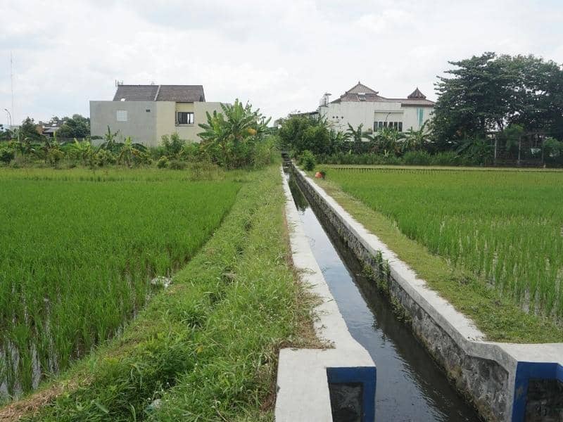
Water always finds the low spot, whether the plan accounted for it or not. That simple truth is why drainage design leans so hard on a topographic survey, which shows exactly where a site rises, falls and pools before anyone chooses how to manage the runoff. Guess at the surface and the drainage plan fights the land. Measure it and the plan works with gravity instead of against it. On any site where water is a concern, the survey supplies the ground truth that every drainage decision depends on.
Trace How Surface Water Moves Across the Site
Water follows the surface, and the surface has to be known before its flow can be managed. A survey maps the slopes, low areas and directions that water takes across a site. Following that movement shows the drainage designer where runoff wants to go.
That picture is the starting point for everything downstream. A plan drawn without knowing the flow can end up sending water where it shouldn’t, while one built on real slopes guides it sensibly. Tracing the water’s path first keeps the design grounded.
Identify Grade Breaks That Influence Drainage Design
Small changes in the ground steer big changes in water. Ridges, swales, depressions and raised areas each redirect flow, and drainage design has to account for them. A survey identifies those grade breaks, so the plan respects how the land already shapes runoff.
Those features carry more weight than they look. A subtle swale can carry water across a site, and a low depression can hold it. Identifying the grade breaks keeps the drainage plan tuned to the real ground.
Locate Existing Features That May Block or Redirect Runoff
Built features change how water moves. Walls, curbs, drives, pads, ditches and paved surfaces all redirect or concentrate runoff in ways the natural slope wouldn’t. A survey locates these features, so the drainage plan works around what’s already there.
That accounting prevents nasty surprises. A wall that dams water, or a paved area that funnels it toward a building, becomes a known factor instead of a hidden one. Locating the existing features keeps the design realistic.
Support Engineers Before Drainage Solutions Are Chosen
Engineers choose better solutions with better data. A survey gives them the detailed surface information they need before settling on how to handle a site’s water. That foundation lets them pick drainage improvements that actually fit the ground.
Good data narrows the choices sensibly. Instead of designing for a guessed surface, engineers work from measured elevations and flow paths, which points toward practical solutions. Supporting the engineers early leads to drainage that performs.
Reduce Redesigns Caused by Missing Elevation Details
Incomplete surface information comes back to bite a project. When a drainage design rests on gaps, the flaws show up later and force changes that ripple through the plan. A thorough survey heads off those redesigns by supplying the details from the start.
That completeness saves time and money. A drainage plan that has to be reworked mid-project delays everything and inflates costs, while one built on full data holds steady. Reducing the redesigns keeps the project on course.
Frequently Asked Questions
Why does drainage design need topographic survey information?
Drainage depends entirely on actual ground elevations and flow paths, since water moves by gravity across the real surface. A survey supplies those measured details, so the design can manage runoff based on how the site truly behaves rather than how it appears.
Can a topographic survey find low spots?
Yes. It locates and measures depressions and grade changes across a site, which reveals where water is likely to collect. Knowing those low spots lets a designer plan drainage that keeps them from becoming problems.
Does existing pavement affect drainage planning?
It does. Pavement can redirect or concentrate runoff, sending water in directions the natural slope wouldn’t. A survey captures those surfaces, so the drainage plan accounts for their effect on the flow.
Who reviews topographic data for drainage work?
Civil engineers, developers, contractors and property owners all review it. Each uses the surface information to understand and manage how water moves across the site.